
Accurate measurement of vertical movements and tilting
An autonomous GNSS sensor that delivers precise, reliable movement data from anywhere on Earth, straight into the SURVIOT platform.
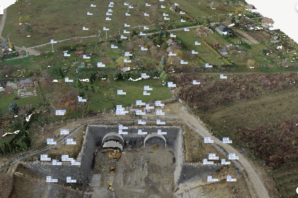
Satellite positioning, engineered for monitoring
The GNSSPOD uses Global Navigation Satellite System (GNSS) technology to determine position, velocity and time. GNSS relies on multiple satellite navigation systems, the American GPS, Russian GLONASS, European Galileo and Chinese BeiDou, making it usable anywhere on Earth.
Paired with the SURVIOT platform, it turns satellite signals into precise, reliable displacement data.
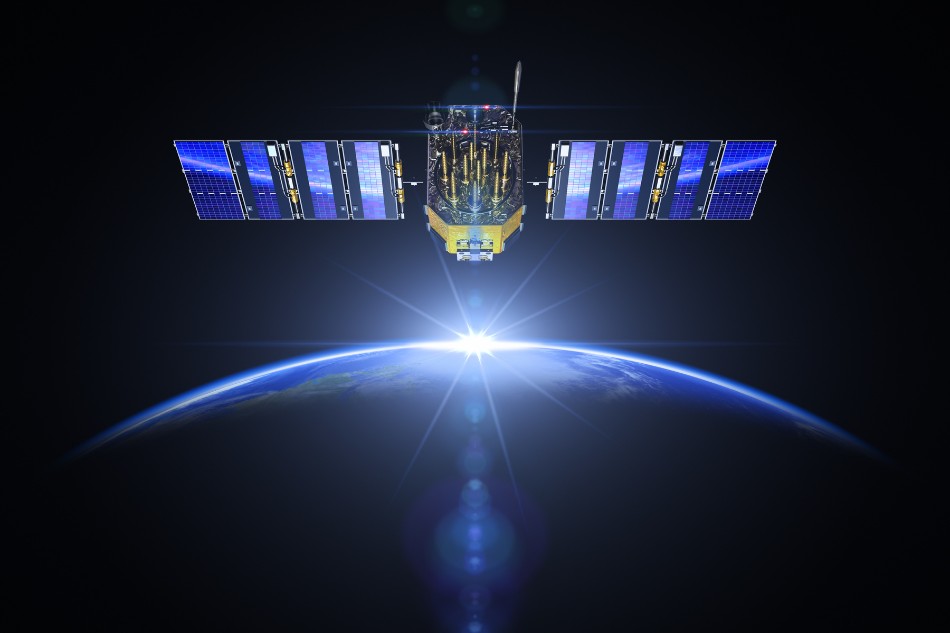
Where the GNSSPOD makes the difference
Harsh environments
Withstands extreme conditions and keeps delivering accurate data in challenging settings.
Remote locations
Consistent, precise information where other methods may fail.
Displacement measurement
Detects surface movements when swift response and decision-making are essential.
Easy to deploy, built to last
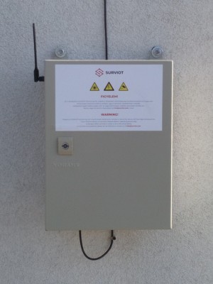
The GNSSPOD runs on solar and battery power, needs no external power input and has no moving parts. Install it on a tripod, concrete base, console or pole and it starts measuring.
Remotely monitored units need only a periodic battery change, and SURVIOT tells you when that is due.
Why engineers choose the GNSSPOD
Fully autonomous
Solar and battery powered, no external power needed, continuous operation.
Easy deployment
Tripods, concrete bases, consoles or poles, set up in minutes.
SURVIOT cloud software
Visualise and share data through a user-friendly interface.
API integration
Feed the data into your existing systems for a streamlined workflow.
High-precision detection
Accuracy comparable to professional surveyor's receivers.
Versatile communication
Mobile networks, WiFi or satellite, for remote, real-time data access.
Remote measurement control
Set and change measurement frequency from the SURVIOT interface, any time.
Adaptive measuring
Measures more often when weather or other PODs call for it, and saves battery in quiet periods.
Low maintenance
No moving parts, minimal upkeep and less downtime.
Cost-effective
Affordable enough for a comprehensive monitoring network.
Rental option
Intermittent monitoring without long-term commitment.
Outlier filter
Irrelevant data points are filtered out for accurate conclusions.
Technical data
Communication
GSM, LoRa(WAN), WiFi, SatCom
GNSS constellations
GPS, Galileo, GLONASS, BeiDou
Augmentation systems
QZSS, SBAS (WAAS, EGNOS and GAGAN)
Standard uncertainty
Horizontal 2.9 mm, vertical 6.3 mm
GNSS corrections
RTK (real time kinematic), PPK (post processed kinematic)
Power supply
Battery, solar panel, mains
Interested in the GNSSPOD?
Ask for an introduction of SURVIOT and get a free consulting session with our experts. Rental is available for shorter projects.